REA Trains Staff on Geospatial Expertise for Well-Informed Energy Planning
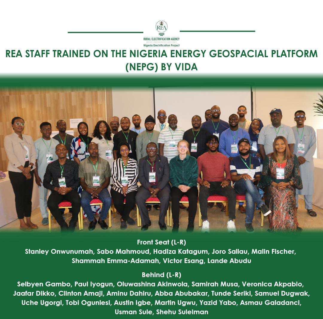
Abuja, Nigeria – December, 2023 – The Rural Electrification Agency (REA) in partnership with Vida Data Science successfully completed a three-day training workshop on geospatial data utilization and applications of the Nigeria Geospatial Platform. The workshop, held from November 28th to 30th, 2023, brought together participants from Rural Electrification Agency, the Nigerian Electrification Project (NEP), the Africa Mini-Grid Programme (AMP), the Energizing Agricultural Programme (EAP), the World Bank, and the Nigerian Electricity Supply Management Services Limited (NEMSA).
The training covered a wide range of areas, including Software demo, applying least cost electrification project, accessing and manipulating different map layers of the software, map measurement across Nigeria, analyzing and editing Individual settlement information as well as downloading data and reports of the settlements, Case studies on National and regional electrification planning and mini grid atlas, selection and planning, and Advanced technical training for IT/GIS experts.
The training workshop was a significant step forward in REA’s efforts to enhance the capacity of participants to utilize geospatial data for informed decision-making in the energy sector. Geospatial data can be used to identify potential renewable energy resources, assess grid infrastructure needs, and plan for the deployment of off-grid electrification solutions.
Engr. Ahmad Salihijo Ahmed, Managing Director/CEO, emphasized “Harnessing the power of geospatial data is crucial for making informed decisions that shape the future of Nigeria’s energy sector, and this comprehensive training workshop serves as a pivotal step in empowering our staff to effectively utilize geospatial data for strategic planning and development.”
Commenting on the relevance of the training to the upcoming DARES project, Mr Abba Aliyu, Head of the Project Management Unit (PMU) of NEP, stated, “The insights gained from this training will be invaluable as we embark on the implementation of the Distribution of Renewable Energy Access and Resources (DARES) project. Geospatial data will play a crucial role in identifying potential renewable energy sites, assessing grid infrastructure requirements, and ensuring the effective deployment of off-grid electrification solutions.”
Participants in the training also expressed their appreciation for the opportunity to learn about geospatial data and tools. “The REA geospatial training workshop was an eye-opener, equipping us with the tools and techniques to harness the power of data for informed energy planning,” remarked Frederick Osuh (REA-NEP). “Geospatial data is no longer just a buzzword; it’s an indispensable tool for shaping a sustainable energy future for Nigeria.”
The success of this initiative relies on the dedication of the 40 participants to apply the knowledge and skills they acquire in their respective roles. This is a call to action for all REA and NEP staff to embrace this chance to augment their skills, thereby better navigating the evolving energy landscape. Utilizing the insights gained, they can contribute significantly to achieving the upcoming DARES goals and efficiently plan for Capital Projects in the country.
The VIDA Geospatial Platform central repository of geospatial data for the Nigerian energy sector. The platform provides access to a wide range of data, including satellite imagery, maps, and spatial data layers. The platform is being used by REA to plan and implement rural electrification projects.
About VIDA
VIDA is a leading software for infrastructure investors to assess climate risks, track their impact, and meet reporting requirements. Our mission is to help people understand the world we need and empower them to take swift action toward a better future.


